

Shimba Hills National Reserve – Kenya
Background Information
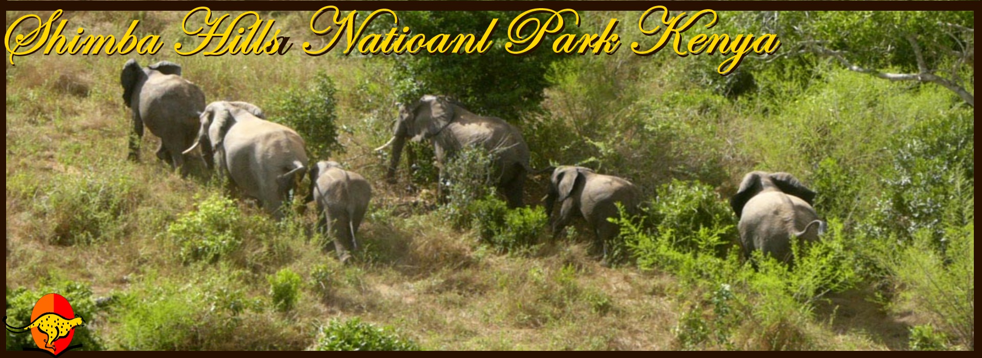
A fenced elephant corridor connects the Shimba Hills with Mwaluganje Forest Reserve to the North.
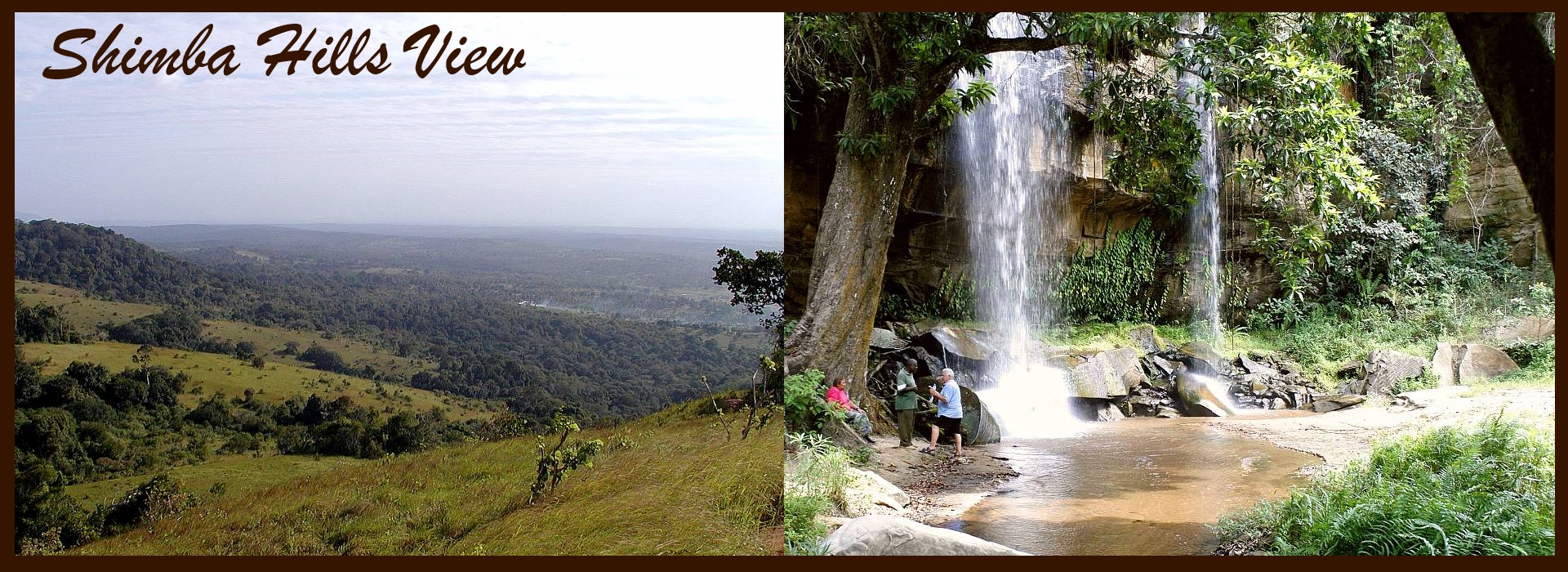
The shimba hills are a dissected plateau that ascends steeply from from the coastal plains, 30 km south west of Mombasa and just south of Kwale town. The surrounding escarpment rises from around 120m to 300m across the bulk of the plateau and as high as 450m at Marare and Pengo hills.
The underlying rocks are the Triassic Shimba Grifs and in the north central part near Kwale town Pliecone Magarini sands.
Rivers flowing from the shimba hills reserve supply fresh water to Mombasa and the Diani / Ukunda area in Kwale district.
Location:
Shimba Hills national reserve is approximately 33 km south of Mombasa, in Kwale County of Coast Kenya.
Climate:
The climate is hot and moist but is cooler than that at the coast with strong sea breezes and frequent mist and cloud in the early morning.
Annual rainfall is 855mm-1682mm.
Mean annual temperatures is 24.2ºC.
HOW TO REACH THERE
Roads:
The reserve’s main access is via Diani-56kms from Mombasa.
MAJOR ATTRACTIONS
What you May See / Do
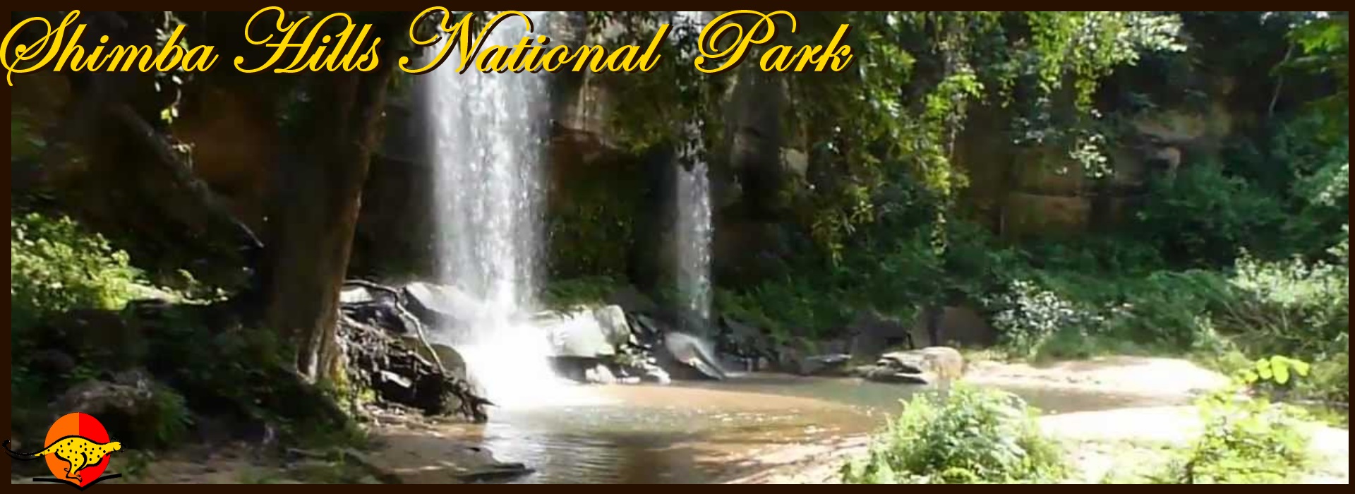
Sheldricks Falls
Sable antelope
Coastal rainforest
Potential for bird-shooting outside the reserve.
COMMON VEGETATION
The Shimba Hills hold one of the largest areas of coastal rain forest in East Africa after Arabuko Sokoke.
The vegetation consists of forested scarp slopes and undulating grasslands interspersed with woodland clumps and ribbons of riverine forest in the steeply cut valleys.


